
© angepasst von den Geostationären Operationellen Umweltsatelliten (GOES-13-Satellit), die vom Zentrum für Wettervorhersage und Klimastudien (CPTEC/INPE: satelite.cptec.inpe.br/acervo/goes.formulario.logic) bereitgestellt werden
The CloudRoots project asks a simple but powerful question: How does the Amazon rainforest interact with its own clouds? CloudRoots explores this two-way dialogue between forest and atmosphere across scales ranging from tiny leaf pores to clouds several kilometers above the Amazon. The team published the results from their research in several papers.

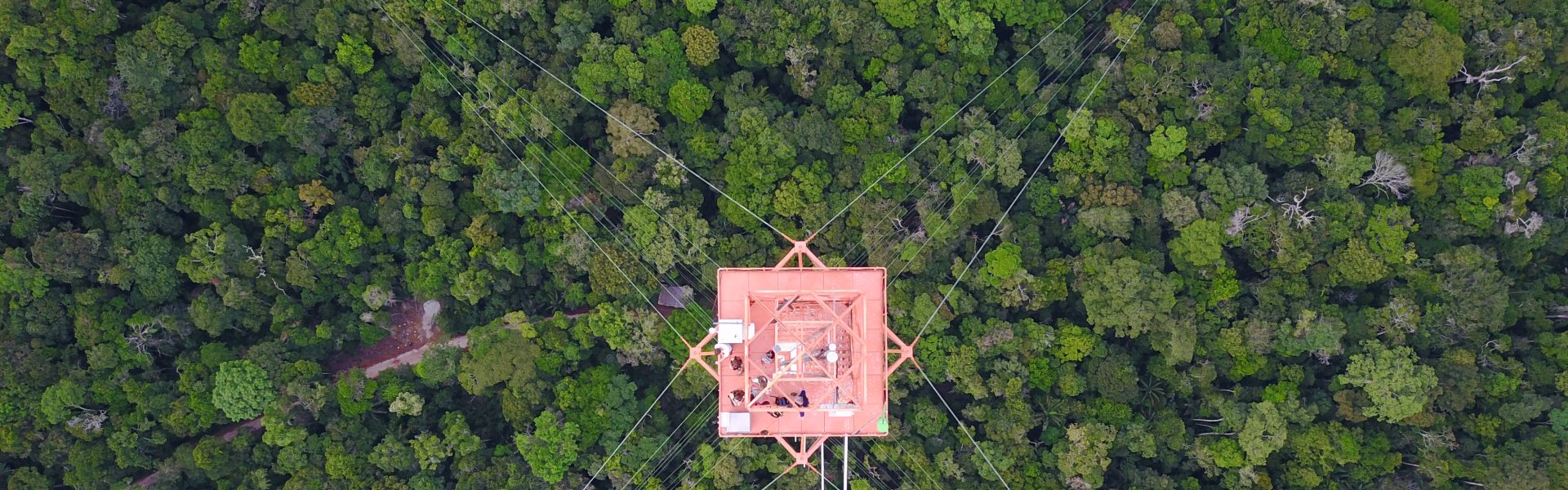
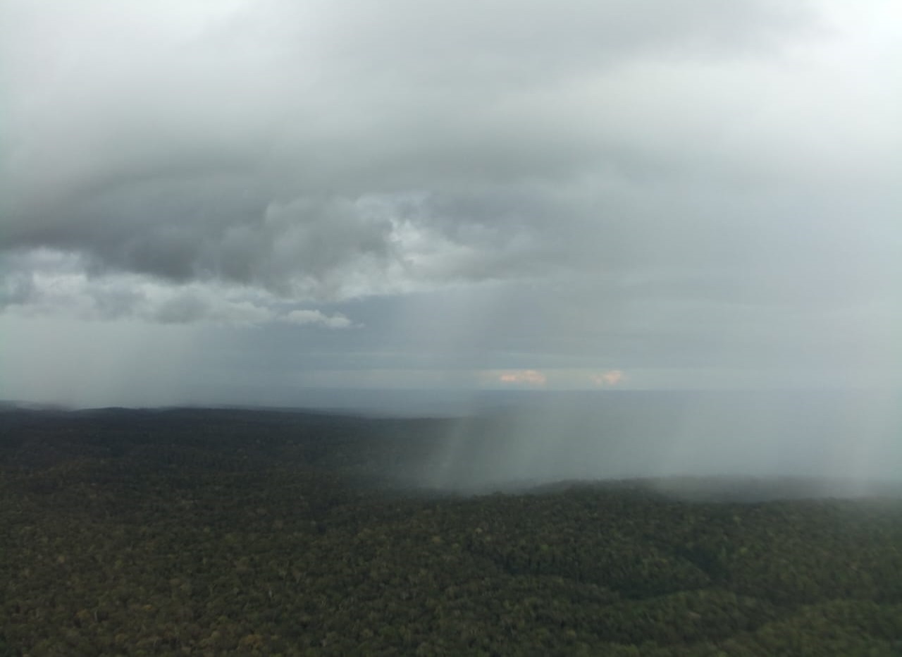
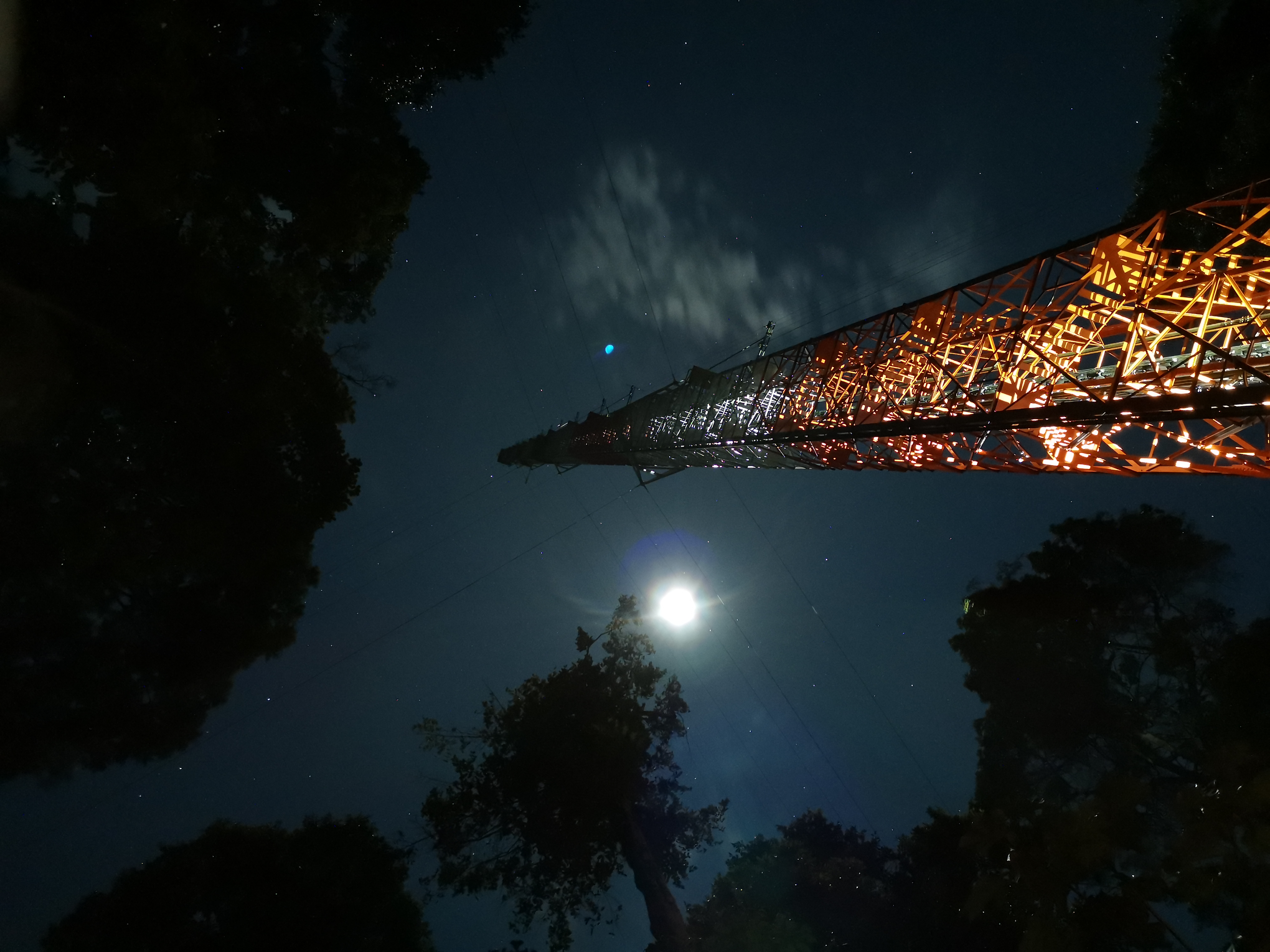
Thunderstorms regularly reshape weather over the Amazon. Using high-frequency data from the Amazon Tall Tower Observatory, researchers cataloged 410 storms (Aug 2021–Dec 2023) and found they strike about every other day, mostly from midafternoon to evening and April–September. The forest canopy mutes most gusts below it, while above-canopy airflow matches textbook storm patterns—insights that improve models of energy, aerosol, and greenhouse gas exchanges for better weather and climate predictions.

Luciane Reis and her colleagues now performed a new study at the ATTO site that shows that gust fronts can also cause large jumps in carbon dioxide concentrations. But what are the sources of this carbon-dioxide-rich air?
Direct measurements of OH radicals are rare and difficult to achieve. However, since they react with BVOCs, Ringsdorf et al. inferred them from isoprene measurements at ATTO. To do so, they applied a technique called ‘Dynamical Time Warping’ from the field of speech recognition. Akima Ringsdorf et al. published the study “Inferring the diurnal variability of OH radical concentrations over the Amazon from BVOC measurements” Open Access in Nature Scientific Reports.
In a new study, Anne Mendonça, Cléo Quaresma, Daniel Marra and their co-authors analyzed different turbulence regimes at the ZF2 site as part of the ATTO-INVENTA project. They also investigated how turbulence is connected to the occurrence of downdrafts and extreme wind gusts, that might lead to tree mortality.
In a new study, Luca Mortarini and his colleagues introduce a novel approach to the study of the roughness sublayer, using a cospectral budget model. Its originality lies in not considering the mixing layer analogy to parameterize the turbulence statistics. In addition, it relates them to the different scales of the wind velocity spectrum without making any assumption on the property of the flow.
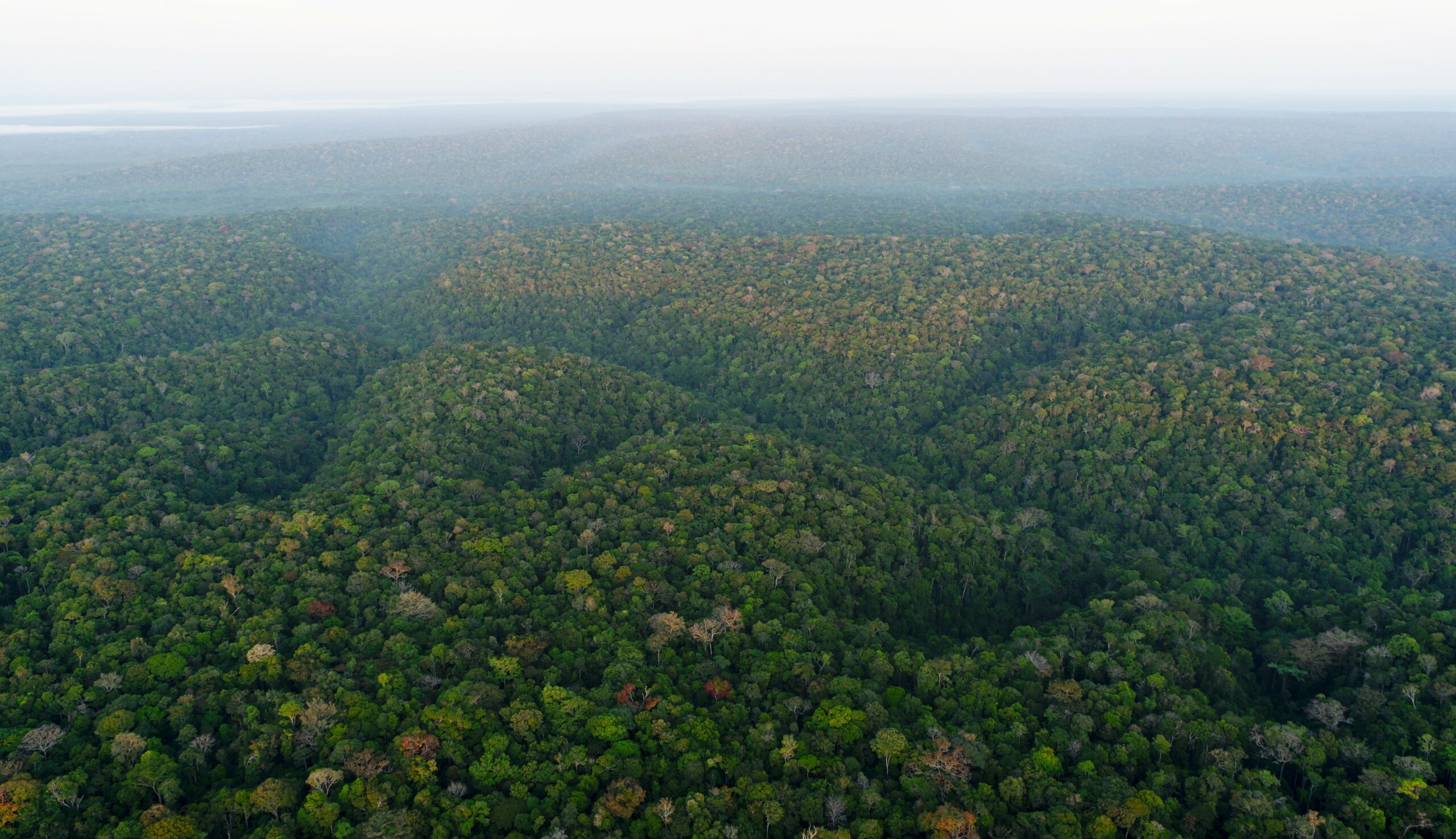
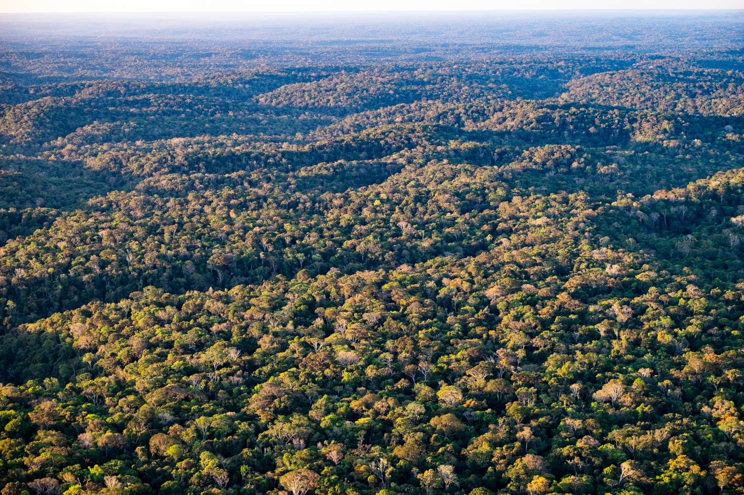
Eiky Moraes, Cléo Dias-Júnior and their colleagues wanted to find out if the local topography at the ATTO influenced the atmospheric movements. In particular, they were interested in the effect that topography has on the formation of gravity waves. Comparing two simulations, one with and one without topography, revealed some important differences in the dynamics and chemistry of the atmosphere.
Only when the air inside of the forest canopy mixes with the air above can there be exchange. The physical movement of the air, its turbulence, determine how well these two layers of air, the one inside the forest canopy and the one above, mix. Daniela Cava, Luca Mortarini, Cleo Quaresma and their colleagues set out to address some of these questions with two new studies that they conducted at ATTO. They wanted to define the different regimes of atmospheric turbulence or stability (Part 1) and describe the spatial and temporal scales of turbulent structures (Part 2).
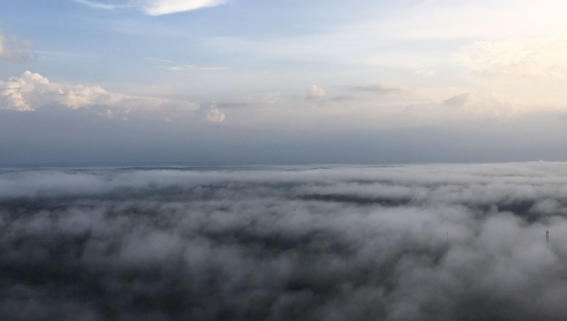
Polari Corrêa and his co-authors analyzed the atmospheric dynamics in and above the forest canopy during one particular night at ATTO. Those conditions changed throughout the night. Turbulence was followed by the formation of a gravity wave and a low-level jet. It was likely formed due to the breeze from the Uatumã River and the hilly terrain. The study highlights the complex dynamics and mechanisms in the atmosphere above a dense forest.
Chamecki and his co-authors analyzed if the gentle topography underneath the Amazon rainforest impacts atmospheric turbulence. They published their results Open Access in the Journal of the Atmospheric Science.