The CloudRoots project asks a simple but powerful question: How does the Amazon rainforest interact with its own clouds? CloudRoots explores this two-way dialogue between forest and atmosphere across scales ranging from tiny leaf pores to clouds several kilometers above the Amazon. The team published the results from their research in several papers.
A hidden mechanism continuously forms new aerosol particles from gaseous precursors in the Amazon rainforest, challenging previous assumptions about the sources of cloud condensation nuclei and their role in the hydrological cycle and climate.

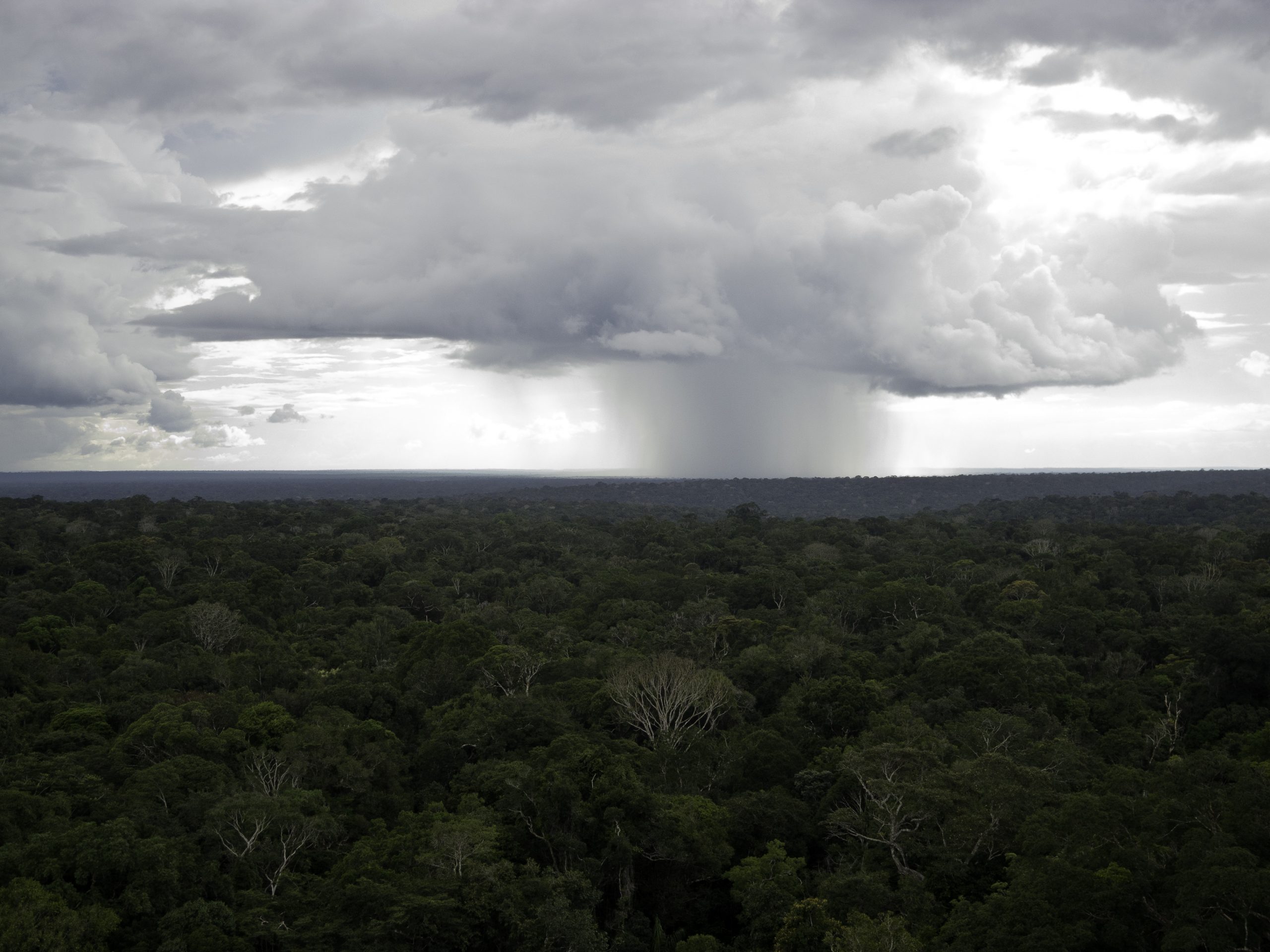
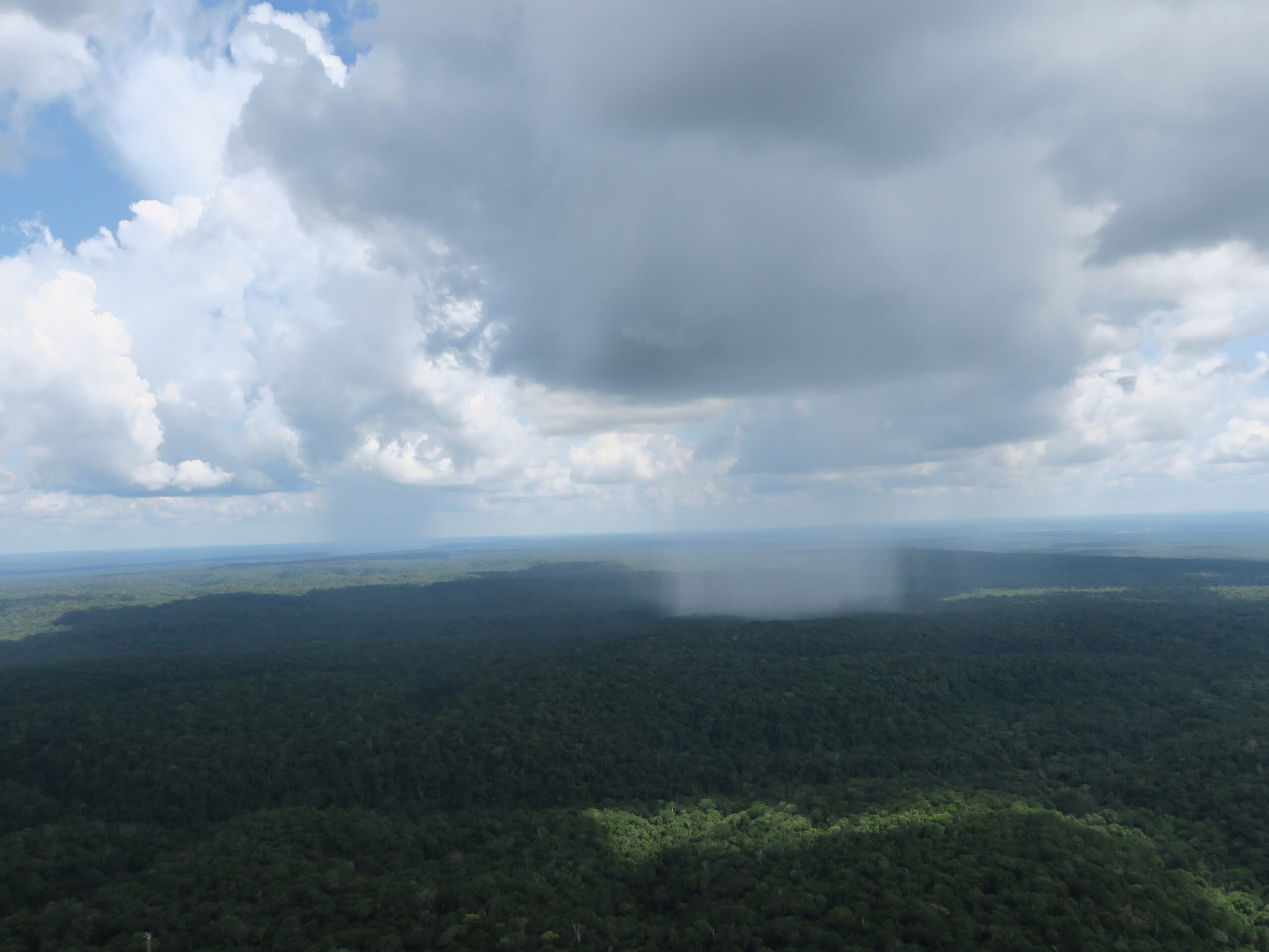
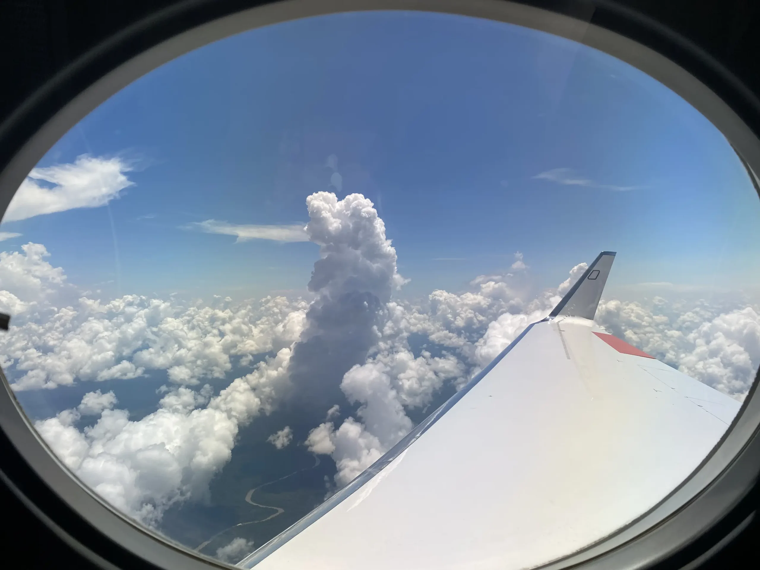
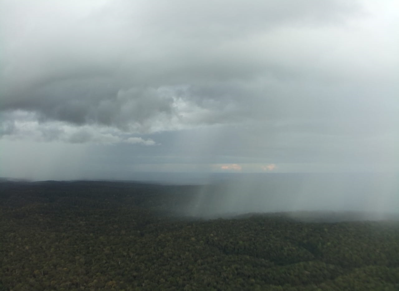
Thunderstorms regularly reshape weather over the Amazon. Using high-frequency data from the Amazon Tall Tower Observatory, researchers cataloged 410 storms (Aug 2021–Dec 2023) and found they strike about every other day, mostly from midafternoon to evening and April–September. The forest canopy mutes most gusts below it, while above-canopy airflow matches textbook storm patterns—insights that improve models of energy, aerosol, and greenhouse gas exchanges for better weather and climate predictions.
New study highlights Amazon’s critical role in the Earth’s climate system, revealing that land-use changes and accelerating deforestation reduce biogenic trace gas emissions and impact atmospheric chemistry up to 12 km altitude.

Luciane Reis and her colleagues now performed a new study at the ATTO site that shows that gust fronts can also cause large jumps in carbon dioxide concentrations. But what are the sources of this carbon-dioxide-rich air?

Scientists measured carbonyl compounds in the atmosphere of the Amazon rainforest with the adopted instrumentation to separate aldehydes and ketones. They made some unexpected discoveries, showing studying the variety of carbonyl compounds separately is extremely worthwhile.

Atmospheric aerosol particles are essential for the formation of clouds and precipitation, thereby influencing the Earth’s energy budget, water cycle, and climate. However, the origin of aerosol particles in pristine air over the Amazon rainforest during the wet season is poorly understood. A new study reveals that rainfall regularly induces bursts of newly formed nanoparticles in the air above the forest canopy.

So-called squall lines frequently bring thunderstorms to the Amazon region. With them comes a lot of rain, but also heavy, turbulent winds. This new study analyzes their impacts on surface meteorology and CO2 fluxes.
Direct measurements of OH radicals are rare and difficult to achieve. However, since they react with BVOCs, Ringsdorf et al. inferred them from isoprene measurements at ATTO. To do so, they applied a technique called ‘Dynamical Time Warping’ from the field of speech recognition. Akima Ringsdorf et al. published the study “Inferring the diurnal variability of OH radical concentrations over the Amazon from BVOC measurements” Open Access in Nature Scientific Reports.
In a new study, Anne Mendonça, Cléo Quaresma, Daniel Marra and their co-authors analyzed different turbulence regimes at the ZF2 site as part of the ATTO-INVENTA project. They also investigated how turbulence is connected to the occurrence of downdrafts and extreme wind gusts, that might lead to tree mortality.