Hello, I am Adriana Simonetti. I just finished my Master in Tropical Forest Sciences at the National Institute for Amazon Research (INPA). My research was developed in the scope of the ATTO project, under the supervision of Dr Daniel Magnabosco Marra.
Observing the forest canopy
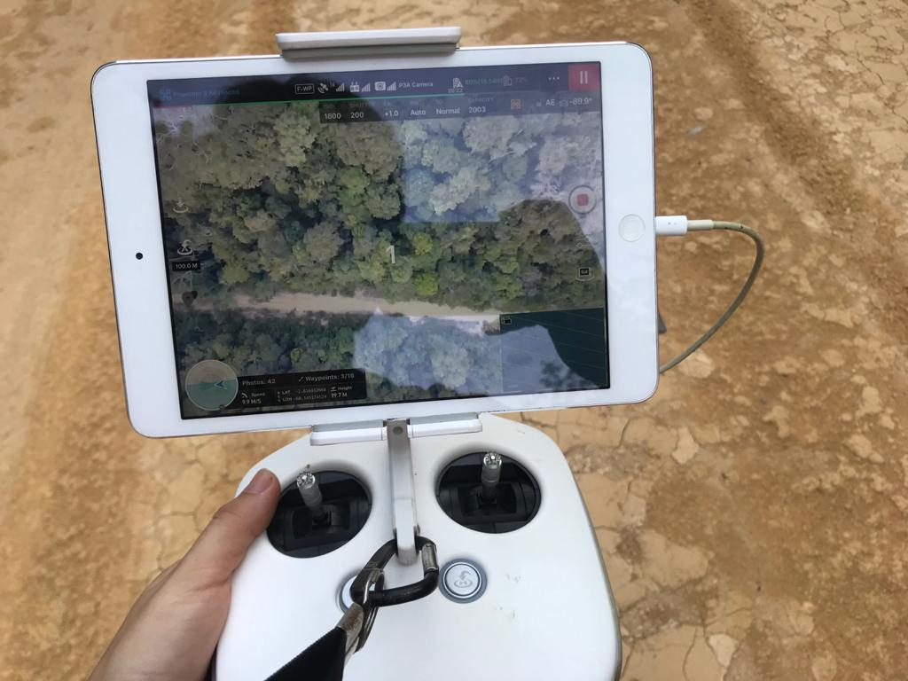
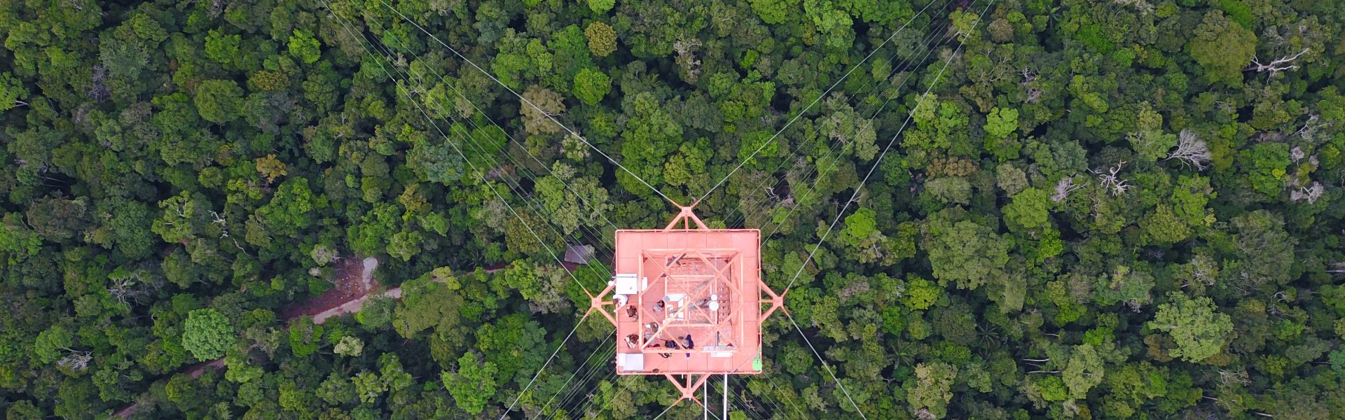
I quantified the size distribution, geometry, and seasonality of canopy gaps by combining photogrammetry and field data. I collected my data at the INVENTA platform, which is located near Manaus, Central Amazon. We obtained the aerial photographs using a Remotely Piloted Aircraft System (RPAS), also known as a drone. We did this with repeated flights over the time period of about two years. While flying the drone over the study area, we took photographs every two seconds. With digital photogrammetry, we additionally generated two main products: an orthomosaic and a digital surface model. That is basically a mosaic of aerial images that were stitched together and adjusted to correct for things like topographic relief, lens distortion, and camera tilt.
Therefore, these reproduce the real dimensions of the objects, with horizontal spatial resolution varying between 3-7 cm. Due to the high resolution, these allow us to visualize the canopy. They also provide a range of rich physical and ecological information. For instance, we can observe leaf changes, the dynamic growth of lianas, the death of canopy and sub-canopy trees, and even branch fall. In my research, I used these data to identify canopy gaps through the quantification of height losses based on repeated flights taken within a 1-2-month interval. Through synchronized ground surveys, I have also identified the modes of tree death and branch fall and quantified the associated biomass produced by these events.
The challenges of drones in the rainforest
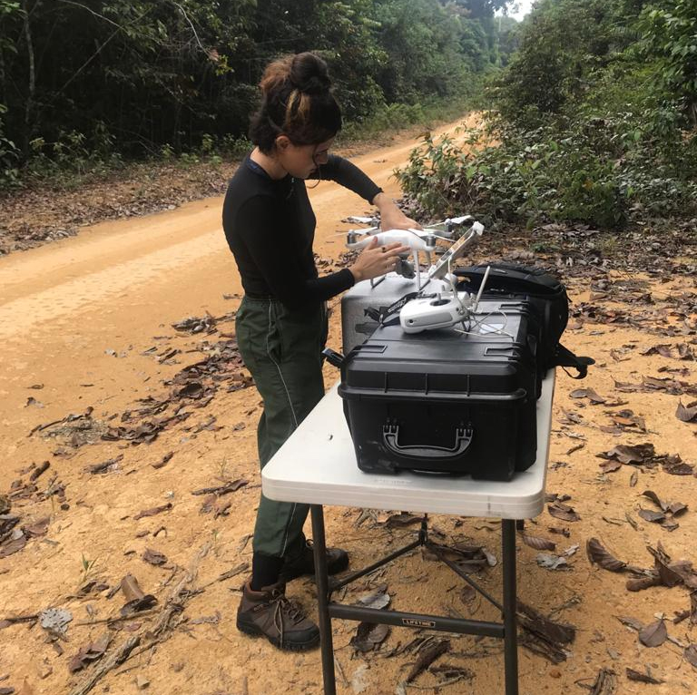
While overflying our study area with the typical closed canopy of terra-firme forests, the drone can sometimes lose the signal with the radio control. But we don’t want to lose the drone in the middle of the rainforest. Trying to avoid this requires accurate flight planning and brings additional excitement! In addition, the reduced open space often requires that the take-off and landing be performed manually, without the aid of obstacle detection sensors. After testing numerous APP’s developed for planning flights, we learned how to fly over the entire study area (18 hectares) without losing the radio control signal.
Monitoring the canopy dynamics of dense tropical forests is pretty challenging. Tools such as drones allow for the acquisition of imagery data with high spatial and temporal resolution – and therefore lots of important details. I am proud to be part of the ATTO project and in my doctoral research I will expand this research to other study sites, as well as acquiring complementary data to understand how tree mortality influences the carbon balance and the diversity of tree species in Amazon forests.
Time-lapse of one of Adriana’s drone flights.